|
|
 |
John Hutchison & Ronnie Milione The Philadelphia Experiment Recreated!
|
|||||
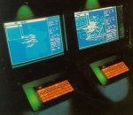
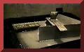
| John Hutchison's miniature Philadelphia Experiment July 2006 |
|
The Philadelphia Experiment to be Revisited by Ronnie Milione and John Hutchison |
|
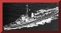
| John Hutchison's miniature pretest of the equipment. |
|
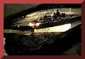
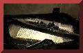
This is a clip of the standing waves John created in the water. |
|
![]()
|
|
|